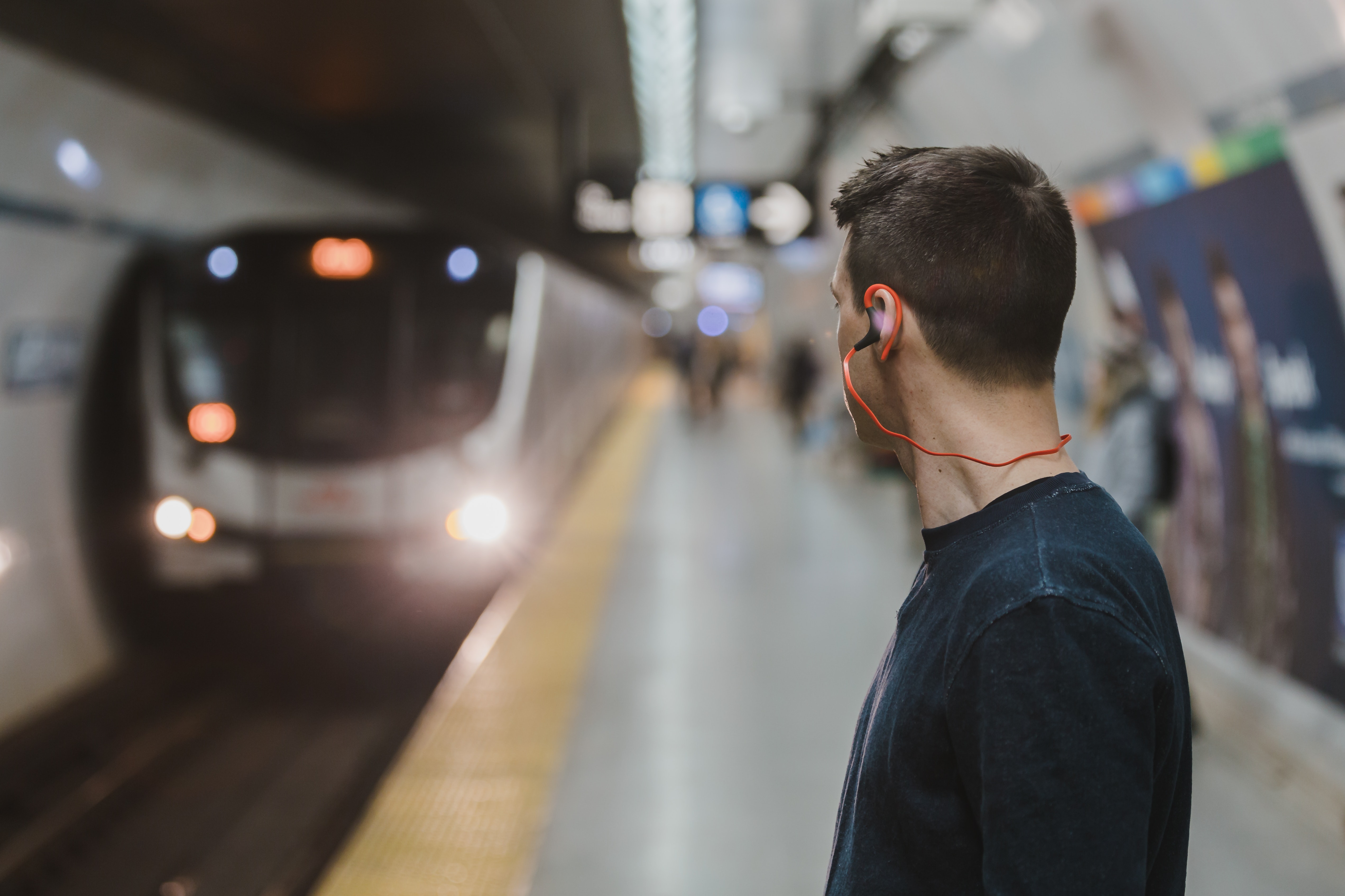
 Cleveland is a compact city that’s relatively easy to navigate. The most popular modes of transportation for getting around Cleveland are on foot and via rail, trolley, and BRT. Whether you’re moving to Cleveland or just visiting, you can use this Cleveland transportation guide to learn how to navigate the city.
 Getting Around Cleveland On Foot
You can easily reach Downtown Cleveland attractions like the Rock and Roll Hall of Fame and Progressive Field on foot. Many Cleveland hotels will provide a walking map, or you can rely on Google Maps. There are some advantages to walking in Cleveland over driving, like avoiding traffic congestion and not having to worry about parking. However, if you want to get to Cleveland suburbs like Akron, Parma, or Canton, you’ll need to rely on a car or the bus system.Cleveland Public Transit
The Regional Transit Authority (RTA) provides public transportation via rail, trolley, BRT, and bus. While all four only cost $2.25 per one-way ticket, they all have unique purposes and advantages. If you’ll be traveling a lot, consider buying a one-day pass for $5, a two-day pass for $10, or a four-day pass for $20 for unlimited rides on every mode of Cleveland public transit.-
Getting Around Cleveland by Rail and Trolley
The rail and trolley systems in Cleveland are the simplest modes of transportation for navigating the city’s center. The Cleveland rail system has four lines, including the Green Line, Blue Line, Red Line, and Waterfront Line. The Cleveland trolley’s four lines include the NineTwelve Trolley, the E-Line Trolley, the B-Line Trolley, and the C-Line Trolley. -
Getting Around Cleveland by Bus Rapid Transit (BRT)
The HealthLine is the first BRT system in Cleveland and one of the first of its kind in the country. It’s considered to be the best example of a BRT system in the U.S. The HealthLine extends between Westlake and East Cleveland and serves Lakewood, Downtown Cleveland, and University Circle. The BRT gets crowded, but it’s ideal for a daily commute and is much faster and more convenient than driving. -
Getting Around Cleveland by Bus
If you wish to travel throughout the Cleveland metro area, or all the way to Akron, you’ll need to learn about the Cleveland bus system. It can be difficult for visitors to learn, with hundreds of stops throughout Cleveland and surrounding towns, but you can get the hang of it by planning your trip using the RTA’s website.
Driving in Cleveland
Cleveland was ranked by Wallet Hub as one of 2018’s worst cities to drive in for a reason. The high rate of car theft and expense of parking and vehicle maintenance make car ownership in Cleveland an unnecessary luxury for many residents. Unless you live in the suburbs, consider renting a car for a day or relying on Lyft and Uber instead.Have questions about how to get around Cleveland? Just ask Weleski Transfer! We’ve experienced navigating Cleveland and the surrounding suburbs firsthand.
Tags
Subscribe to Weleski Transfer Inc's Blog


Comments